This the first in a series of projects that became the foundation for the South Umpqua Rural Community Partnership 501(C)3 formation as a nonprofit organization. For that reason we will take you on an extensive review. Enjoy! Below are links related to project development and related topics of interest.
Highlighted links related to project development and implementation: The Joe Hall Powerpoint PDF to apply for various grant funds. Broken Wheel – An article giving the landowners perspective on why they participated in the restoration project.
The following is a comprehensive series of images that illustrate the process of developing an aquatic habitat restoration project. Other examples will not be this well represented. Select the first image and proceed from there. Don’t miss the helicopter massive log lift and the bottom of the page. Select the first image to scale it up for viewing and then navigate through the sequence using the arrows.
Galleries of the Project Development
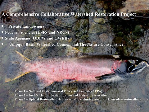
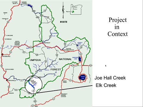
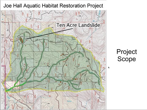
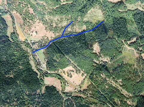
Scale, Scope and Support These images were some of the images used to explain the importance of the project related to endangered species (Coho Salmon). They also show an extensive amount of collaborative support for the work to be done. These private lands are surrounded by Umpqua National Forest and it was critical to illustrate the significance of USFS agency’s involvement through its mandate to protect and restore adjacent old growth habitat and the species it harbors.
First Coho in 60 years
Collaborative emphasis
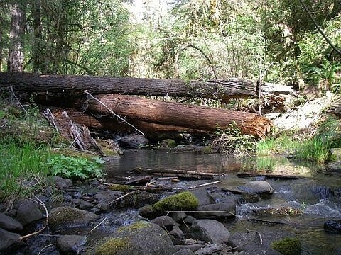
Project location
Scale of the project
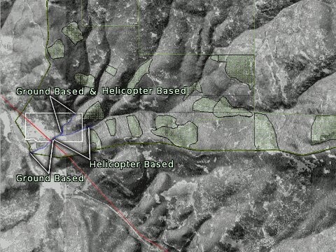
Aerial view
Logistical map
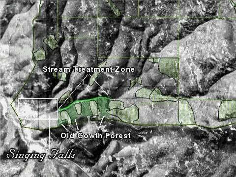
Habitat mapping
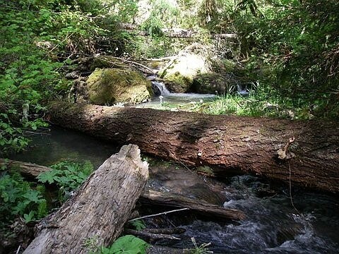
Instream structure sites located on private land holdings
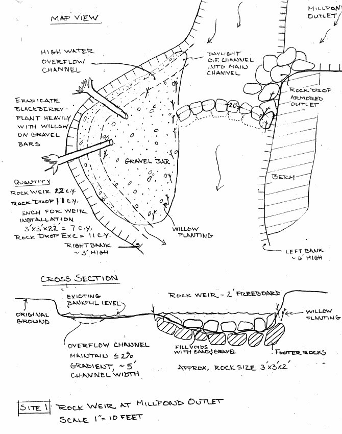
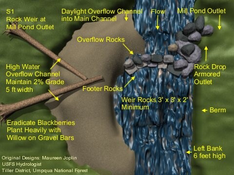
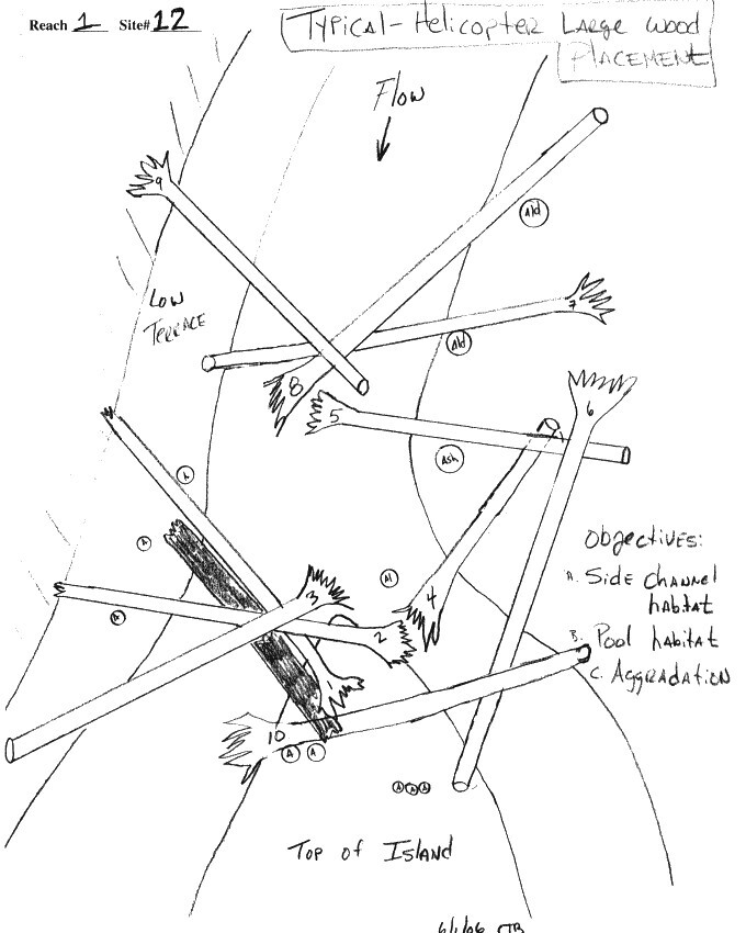
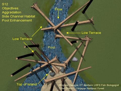
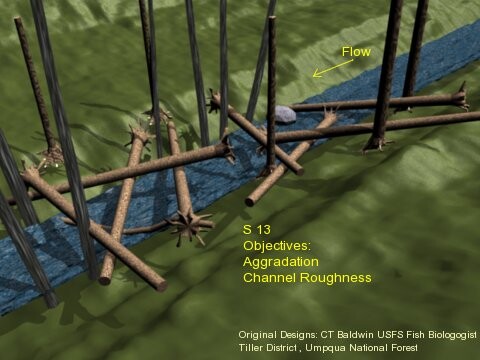
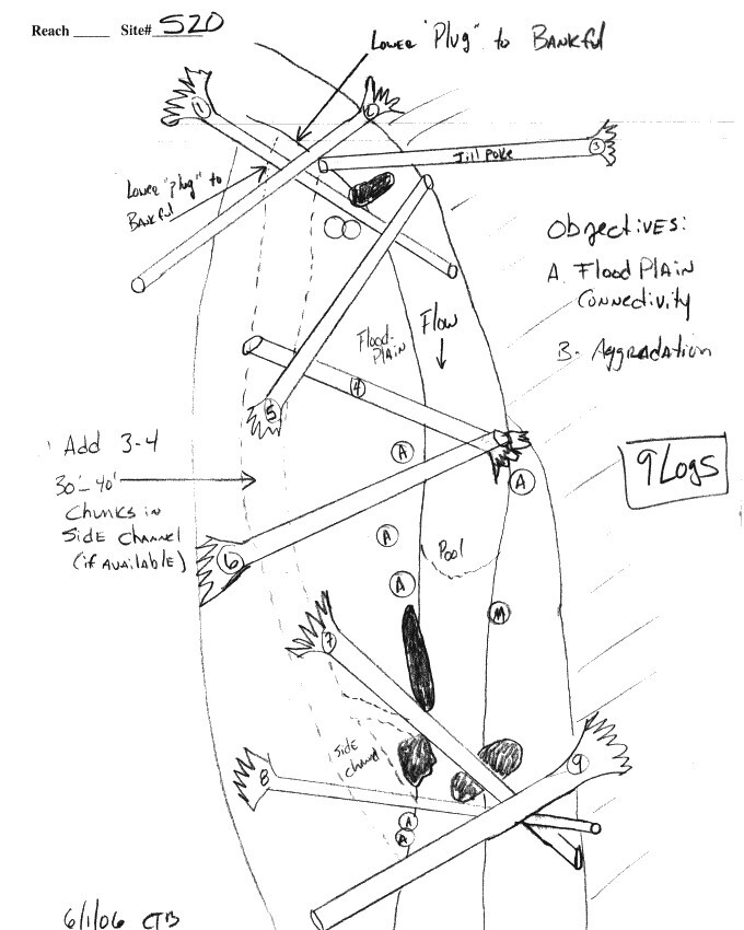
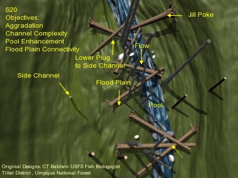
Design and Review Examples There were 43 sites located on the lower end of the project area associated with private landowners holdings. An assessment of the stream profile, cross section and adjacent riparian conditions was done. An evaluation of the entire Joe Hall watershed and its potential stream flow rates was a critical factor needed for appropriate design features and the frequency of the sites. The main objectives of these instream structures was to add stream complexity, create and store important gravel deposits needed for spawning salmon and trout. The strategically placed sites are also meant to slow down water flow to recover areas scoured down to bedrock. The US Army Corps of Engineers and other key agencies had to review and approve these designs produced by the Forest Service fish biologist.
Boulder weir design
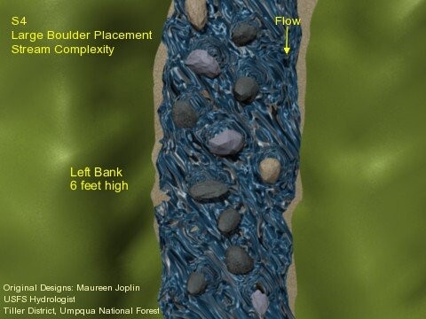
3d Model
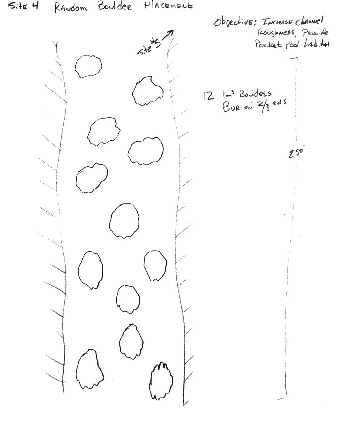
Boulder placement
3d Model
Pool enhancement
3d Model
Agradation dispersal
3d Model
Connectivity agradation
3d Model
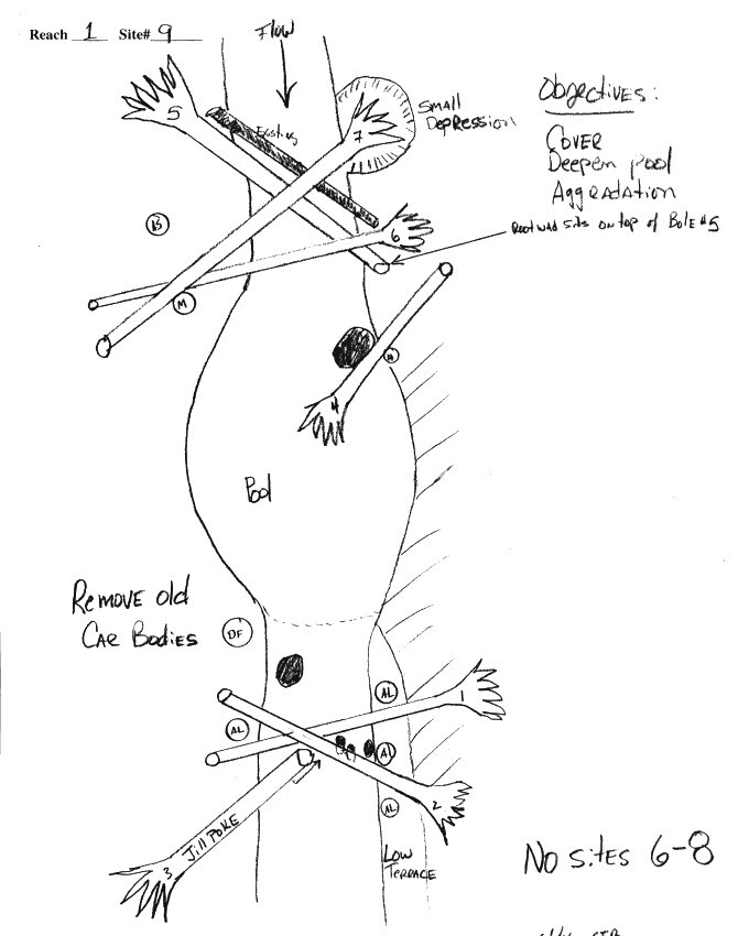
Multiple objectives
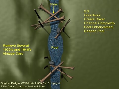
3d Model
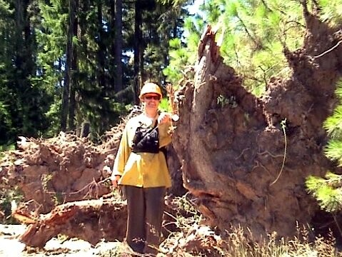
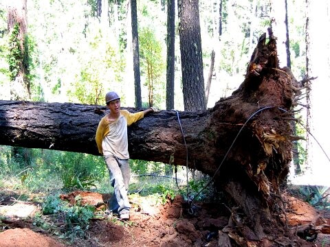
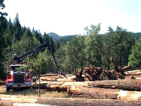
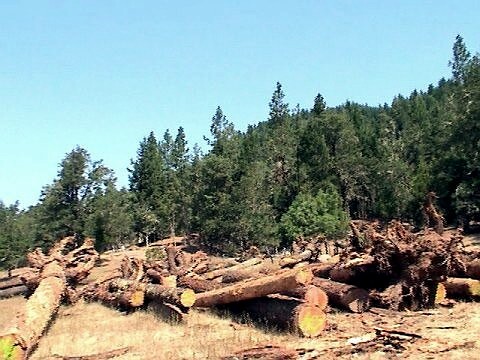
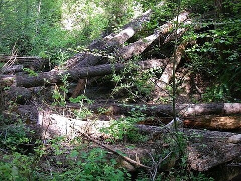
Accumulate Implementation Resources It can’t be emphasized enough that the materials needed to create a successful project are hard to come by. Fortunately many of the headwater areas had a great accumulation of large trees that had blown down with root wads attached AND a fair amount of standing dead snags. If there wasn’t a significant pool of local skill sets and equipment to manage these materials it would have become a road block. The length of the trees and size of the boulder materials were calculated based on the watershed assessment.
Prepping Large Woody Debris for Transport
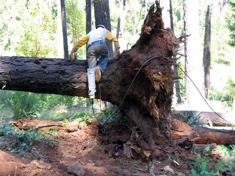
Harvest blowdowns
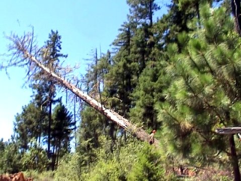
Sawing snags
Full length snags
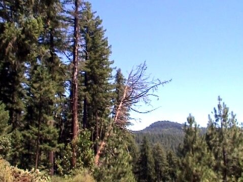
Drought induced snags
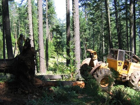
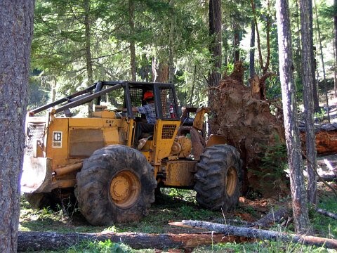
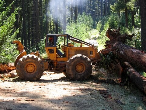
Skidder
Valuable root wads
Setting choker
Extraction skills
Extraction skills
Extraction skills
Staged for transport
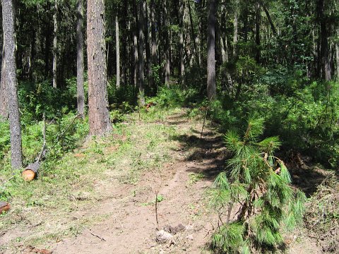
Low impact and clean
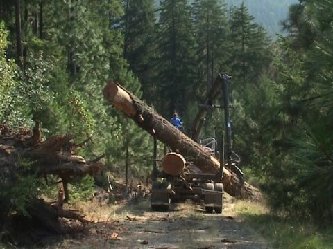
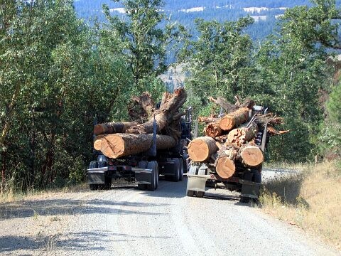
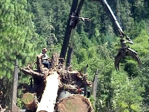
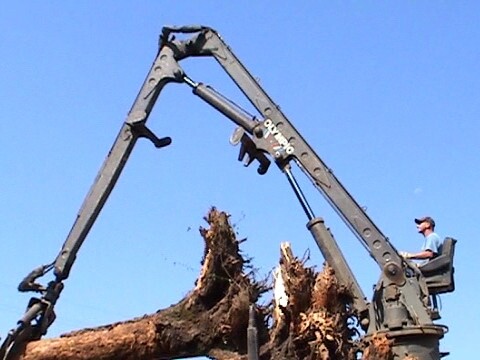
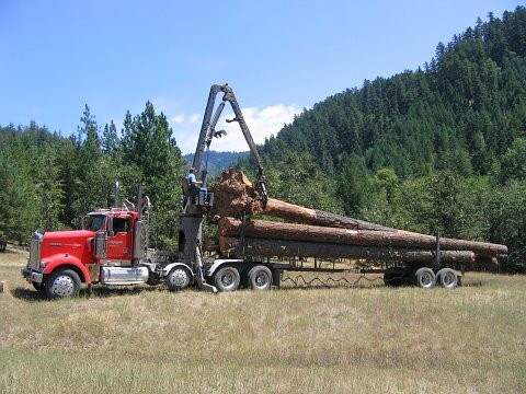
Transport and Staging of Materials
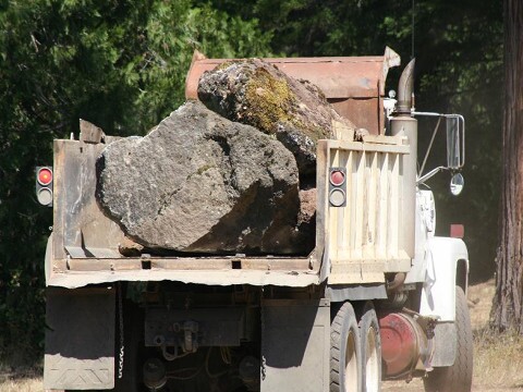
Local RockyTop Ranch
Staged for weirs
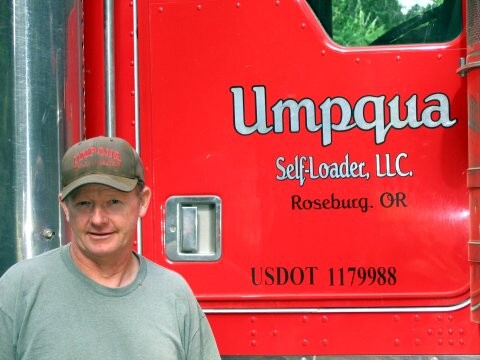
Local hauler
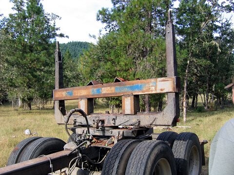
Custom root wad hauler
Loading and weighing
Strategic length of logs
Valuable root wads
Heading to staging area
Unloading at landing
Unloading at landing
Staged by weight
Logs weighed and staged
Loading trailer
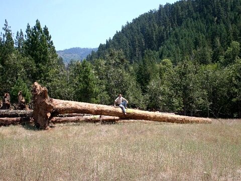
20 ton 50+ foot log
9 foot root wad
200+ logs for instream
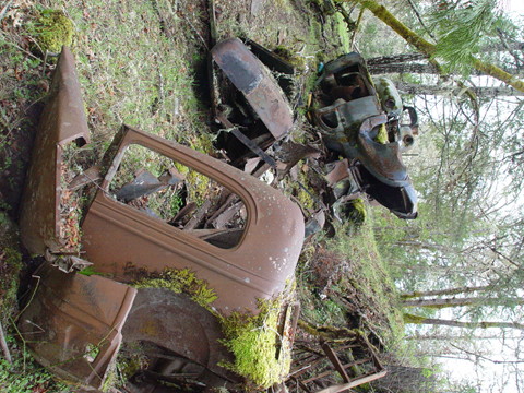
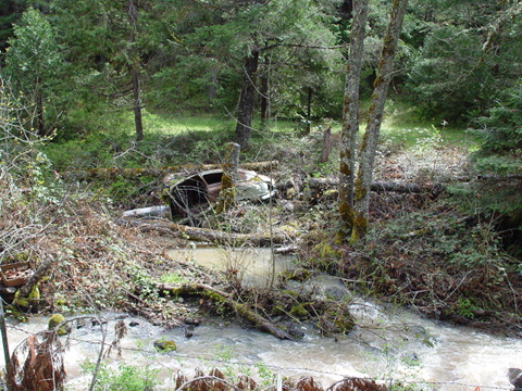
Trash Removal From the Riparian Zone and Stream Many ten yard truck loads of trash were removed from the stream systems
Riparian zone pollution
Historical waste disposal
1930’s disposal in stream
Included oil and trash
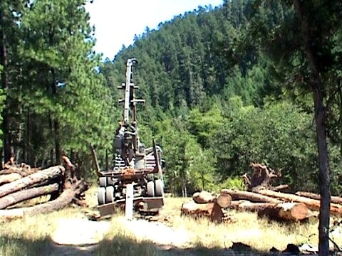
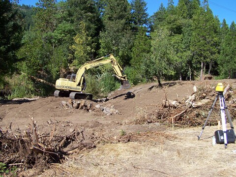
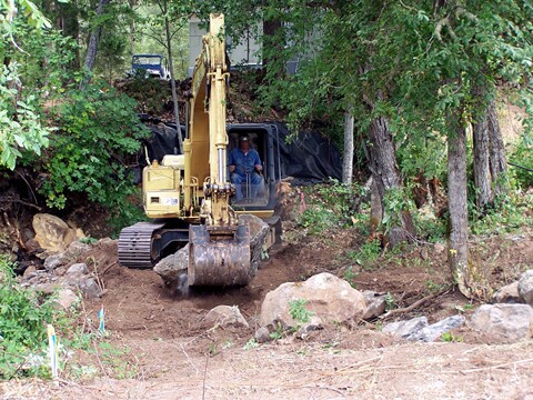
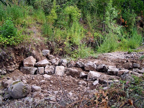
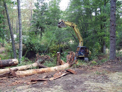
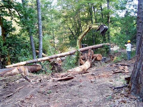
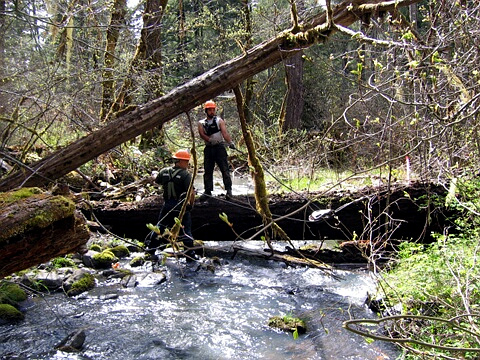
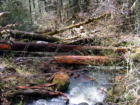
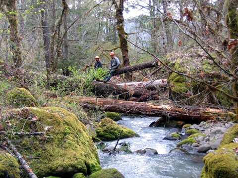
Survey and Implement Designs
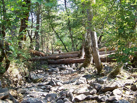
Structure survey layouts
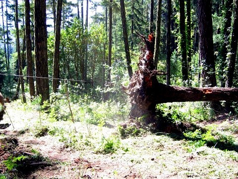
Contouring stream bed
Building weir to specs
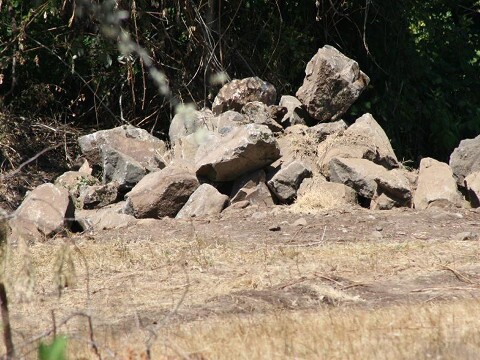
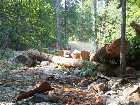
One of many rock weirs
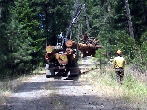
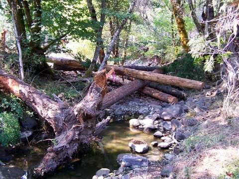
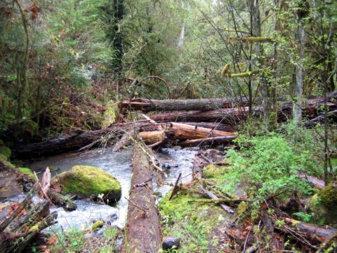
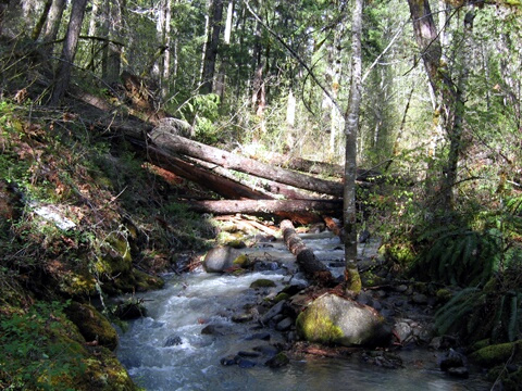
Large wood placement
Wood placement
Wood/boulder structure
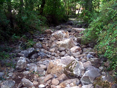
Instream boulders
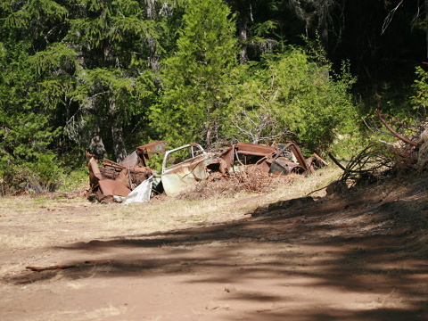
Vehicles taken away
Stategic placement
Slow stream flow
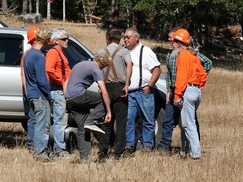
Key partners for safety
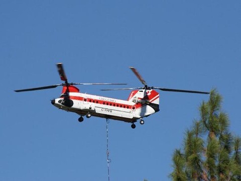
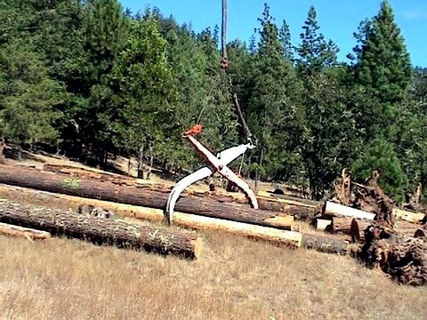
Chinook w/80ft cable
Massive grapple
Log bundles
Weight limited log
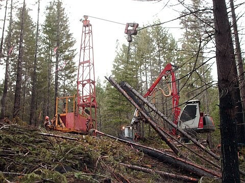
High Line Placement on National Forest Land Portion of the Project
Highline placement
Setting the cable
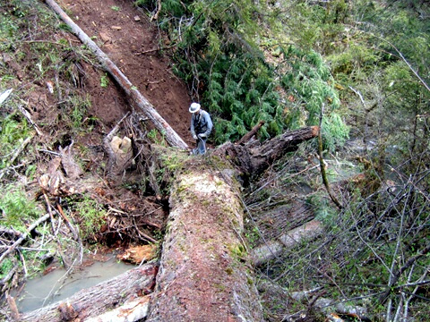
Massive fallen old growth
Block and tackle system
Wildlands area structure
Wildlands area structure
Wildlands area structure
Wilderness area structure
High Lined downed wood
Staged above a water fall
Slows the flood stage down
Safety first
Helicopter Placement Videos
The Fruit of these labors has been an annual salmon spawning event. The number of returning salmon has fluctuated. Coho salmon are still listed under the Endangered Species Act. Without the recovery of natural conditions in our watersheds on a much larger scale, including the return of beaver into the ecosystem, the increase of salmon to their natural abundance will be in question.